

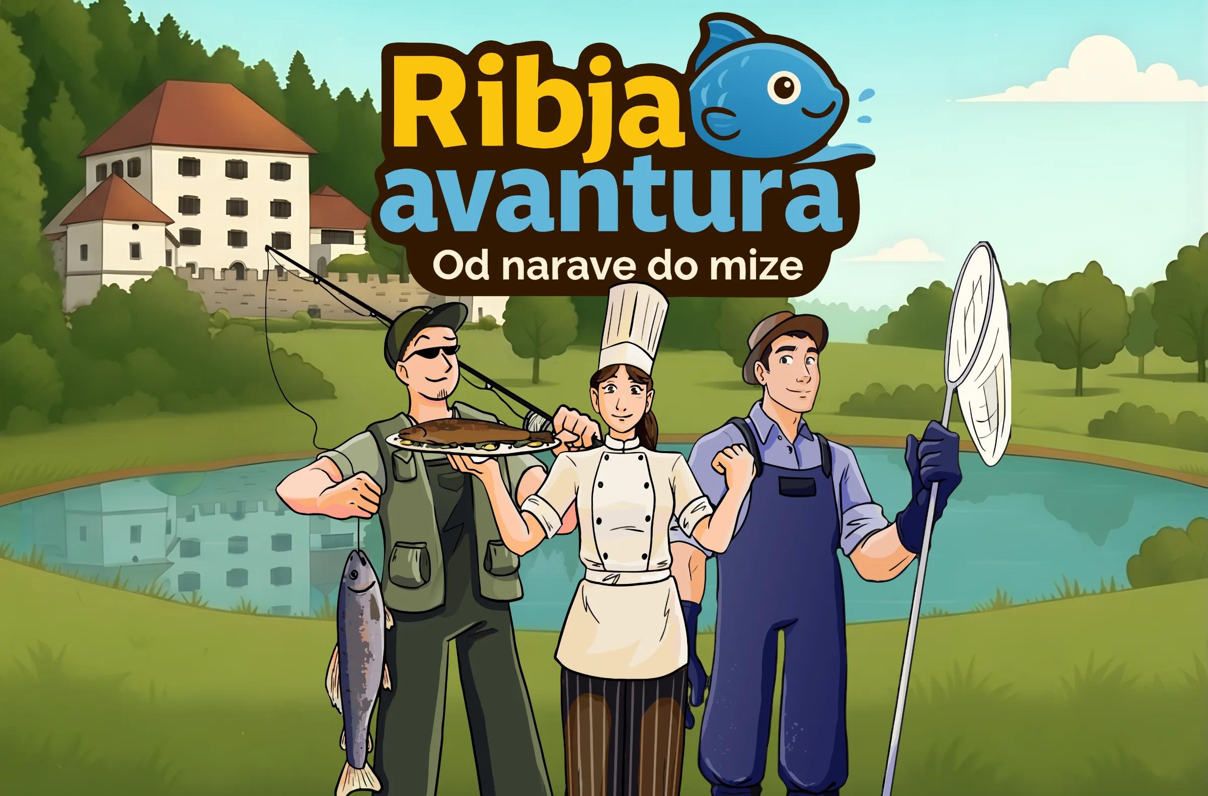
Fish Adventure
Set off on the Fish Adventure and, through play, discover the world of local waters, fish farming and fish cuisine.
Themed trails
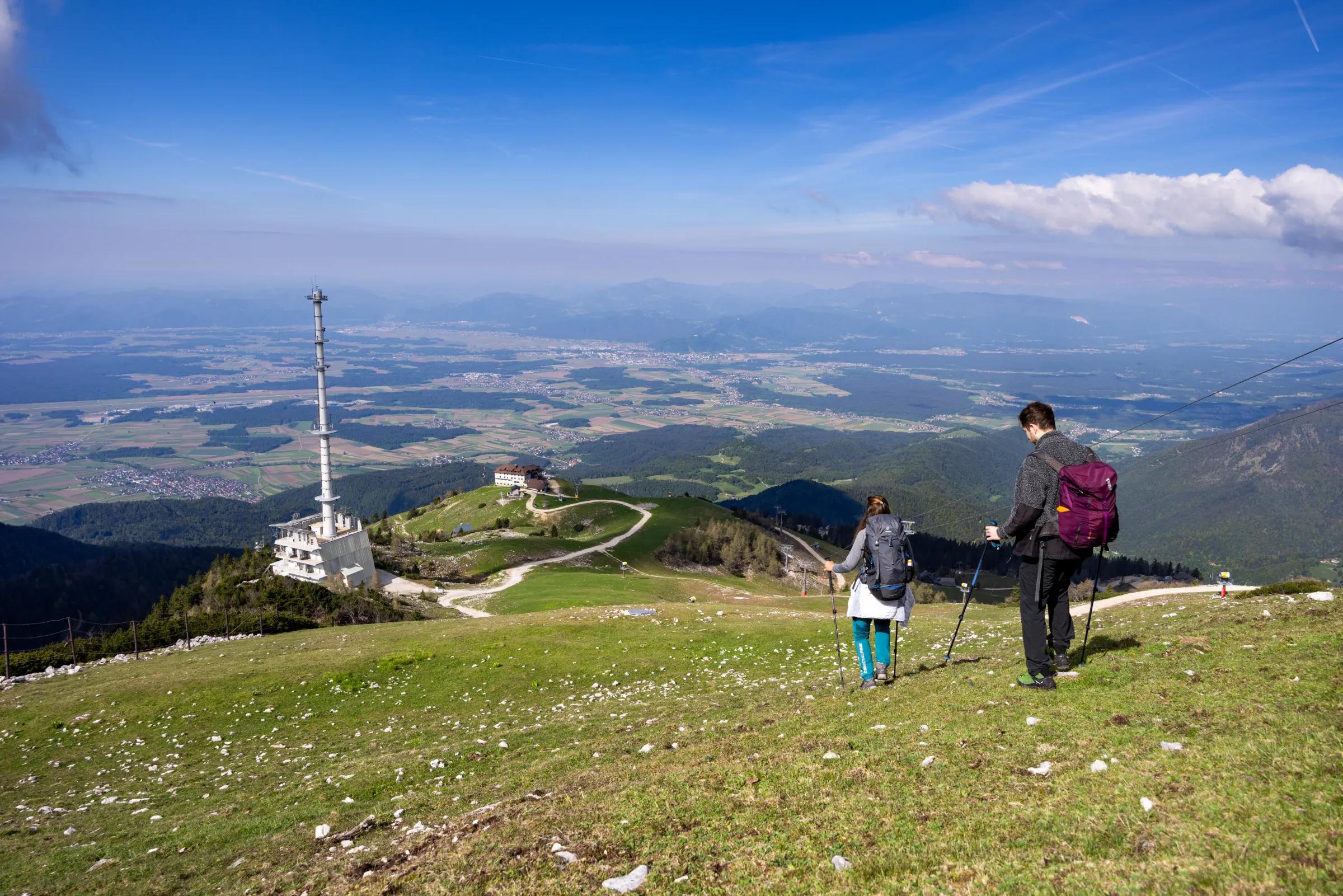
Discover the Kamnik–Savinja Alps through one of their greatest natural treasures – water. The Water Trail of the Kamnik–Savinja Alps is a long-distance hiking trail that links springs, streams, rivers, lakes and waterfalls, leading through the varied Alpine landscape of Slovenia and Austria. The Kamnik–Savinja Alps are a true natural water tower. The area has more than 100 springs, 100 streams, four rivers, three lakes and numerous waterfalls. As part of the Network of Water Trails project, experts repeatedly analysed 55 water sources, paying particular attention to water quality and to the importance of preserving this wealth of water.
The circular trail starts in Stahovica and leads through the Kamniška Bistrica valley towards Krvavec. It continues through the Cerklje area, Preddvor and Jezersko, crosses Austrian Carinthia and returns to Slovenia over the Pavličevo sedlo pass. It then leads through the Logar Valley (Logarska dolina), Solčava, Luče and Podvolovljek, before returning towards Stahovica below Velika Planina.
The whole trail is divided into 11 day stages; the average stage is 17.2 kilometres long, or about 4–5 hours of walking.
Link: Kamnik–Savinja Alps – Water Trails
ksalps.com/vodne-poti (opens in a new tab)
Stage 2 of the Water Trail crosses the Municipality of Cerklje na Gorenjskem: Kriška Planina–Strmol Castle–Olševek–Preddvor.
From Kriška Planina, the trail descends towards Ambrož pod Krvavcem, where a spring by St Ambrose's Church awaits walkers. It continues via Šenturška Gora down into the valley to the source of the Pšata, where groundwater from beneath Krvavec rises to the surface.
The trail then crosses the Reka stream and leads past Strmol Castle, home to another of the springs along the route. It continues past the Češnjevek Ponds and Adergas, and then through Olševek towards Lake Črnava in Preddvor.
Link: Kamnik–Savinja Alps – Stage 2
What makes the Water Trails special is not just the hiking routes but also the stories of water and its importance for life beneath the Alps. Metal cups have been placed at selected analysed springs with drinking water, and QR codes give walkers access to data on water quality. The trail is therefore not only a hiking experience but also an invitation to learn about and protect one of the most precious natural resources of the Kamnik–Savinja Alps.
The route of all 11 stages is shown on the Water Trails of the Kamnik–Savinja Alps hiking map, which is also available at the TIC Cerklje na Gorenjskem (Tourist Information Centre).
Link: PDF Water Trails of the Kamnik–Savinja Alps
Water Trails of the Kamnik–Savinja Alps (PDF)
The entire trail, together with descriptions, is also available in the maPZS mobile hiking app, which you can use free of charge on your phone.
Link: maPZS – Alpine Association of Slovenia
mapzs.pzs.si (opens in a new tab)
For detailed descriptions of the individual stages, maps and further information, visit the official website of the Water Trails of the Kamnik–Savinja Alps.
Set off on the Fish Adventure and, through play, discover the world of local waters, fish farming and fish cuisine.
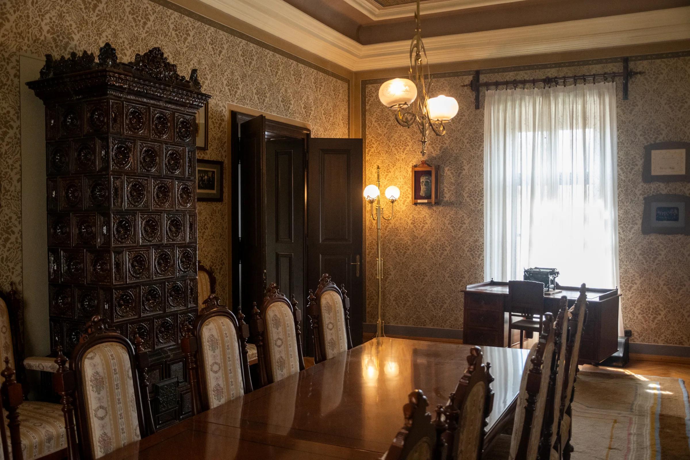
Discover the historical and cultural heritage of the Cerklje valley through the stories of Ivan Hribar, the legendary Mayor of Ljubljana, and Jože Plečnik, the world-renowned architect.
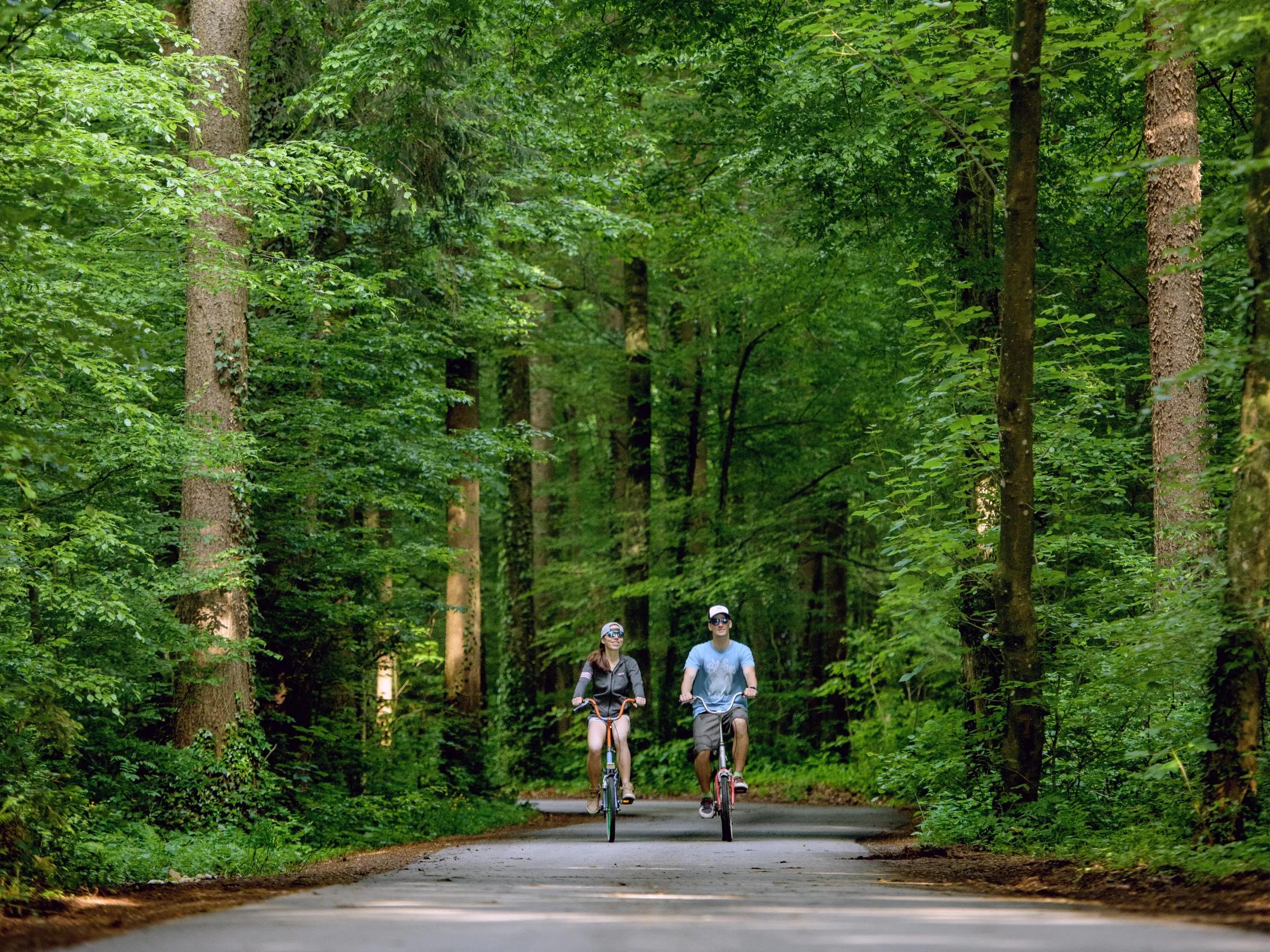
The Pod Krošnjami (Under the Treetops) recreational walking trail links Adergas, Štefanja Gora, Štefanja Vas, Grad and Dvorje, taking visitors through forests, meadows and villages at the foot of the …