

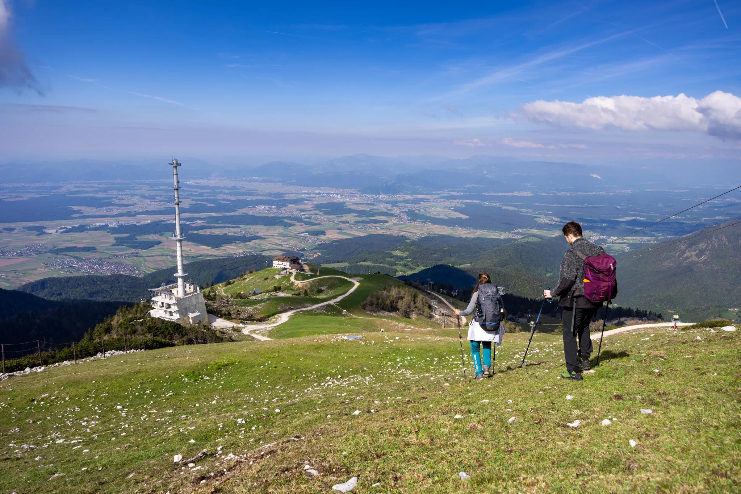
Dolga Njiva pasture (Krvavec)
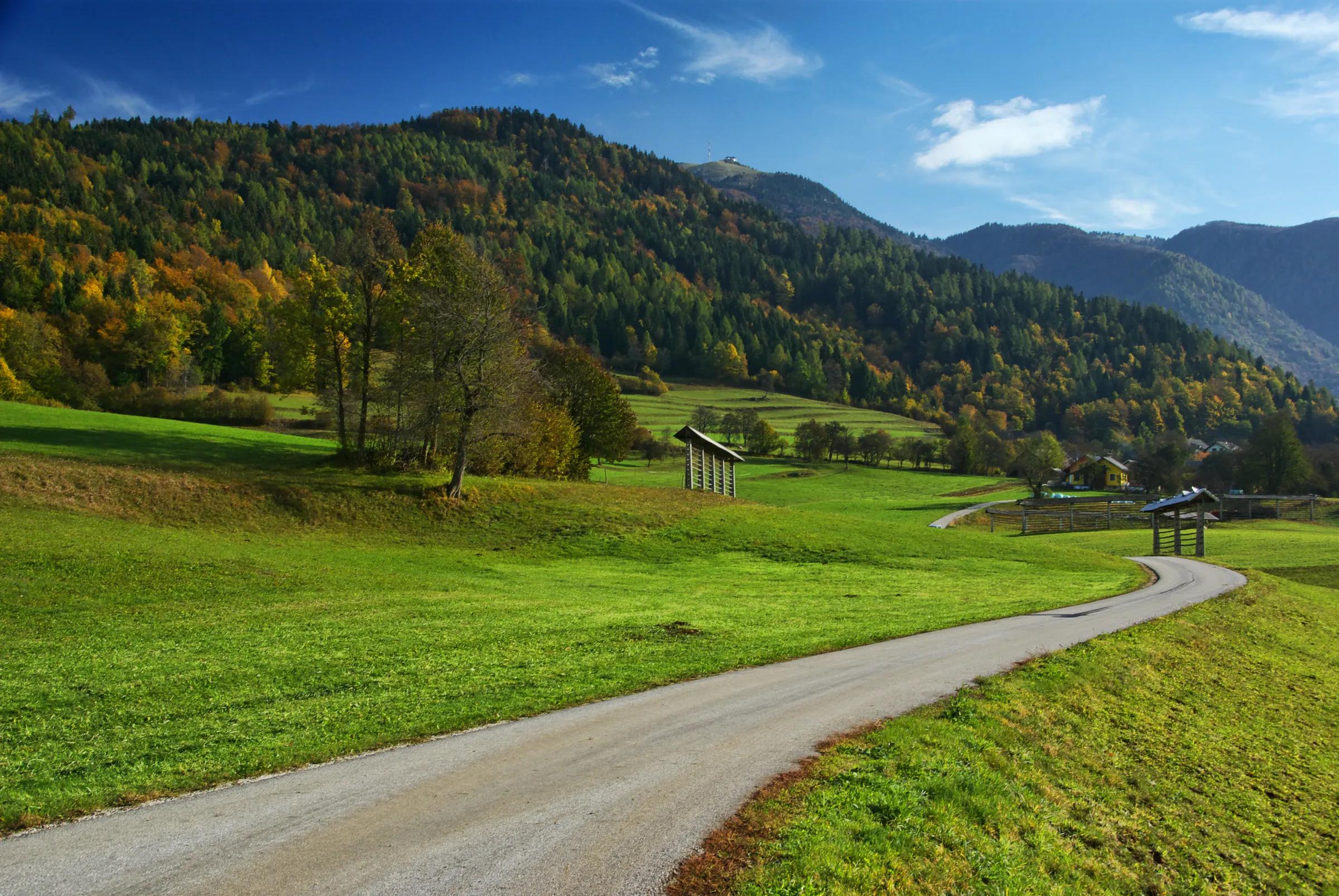
The Dolga Njiva mountain pasture (planina) lies on the extensive grazing grounds below Veliki Zvoh and Vrh Korena.
Hiking
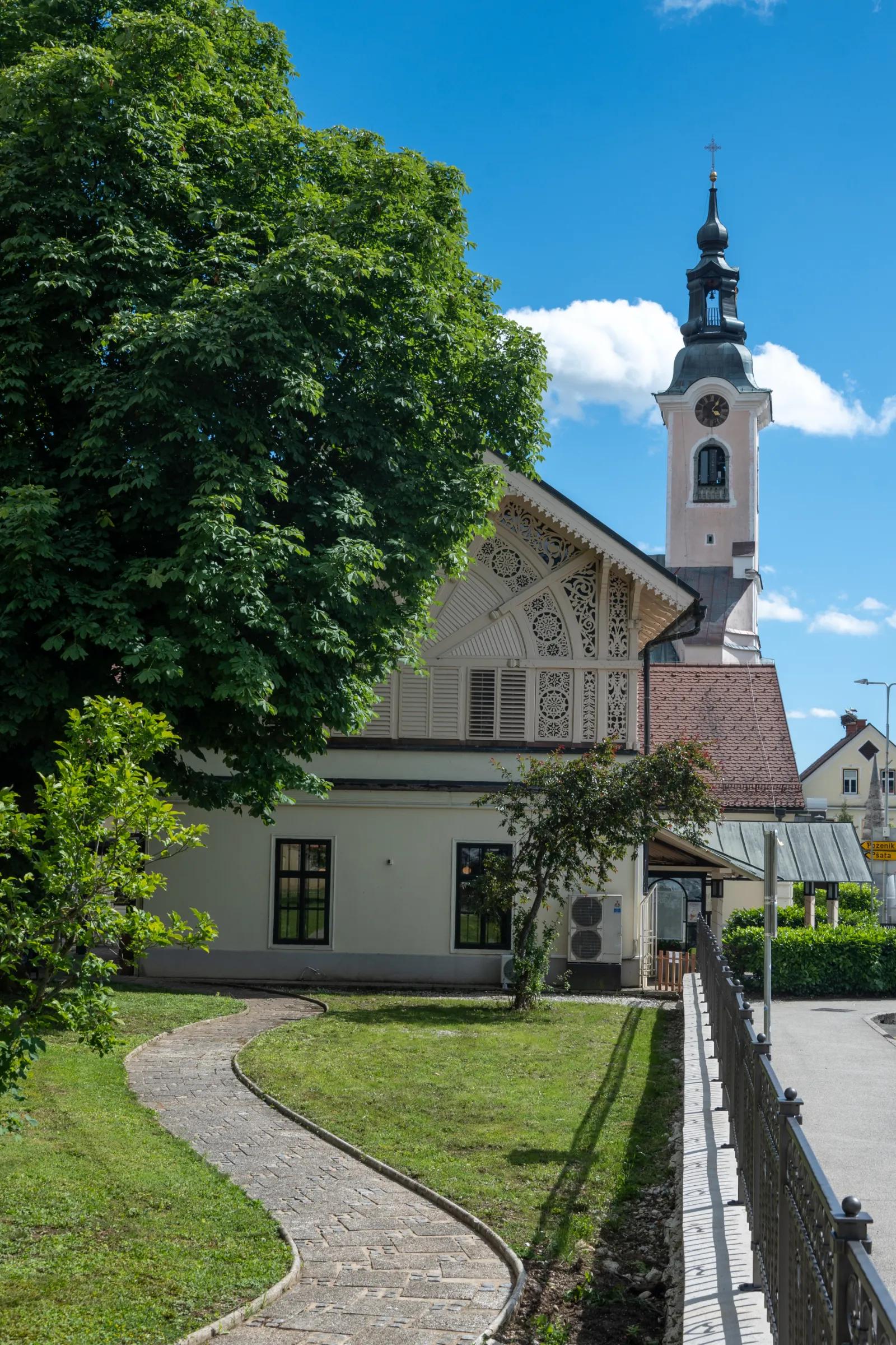
Štefanja Gora, crowned by St Stephen’s Church, rises above Cerklje na Gorenjskem. Just a few tens of metres below the summit is the Pri Mežnarju excursion farm, where you can enjoy home-made food.
From the Ljubljana–Jesenice motorway, take the Vodice or Brnik exit, or alternatively Kranj vzhod (Kranj East), and follow the road towards Cerklje na Gorenjskem. In Cerklje, continue along the main road (towards Adergas) as far as the village of Trata, where signs for Adergas direct you to the right. Carry on along a somewhat narrower road and follow it to the large car park in front of the former monastery in Adergas.
From the car park, continue along the asphalt road that runs along the left side of the former monastery’s wall. Follow this road to the first left-hand bend, where signs for Štefanja Gora direct you right onto a footpath. After a few dozen steps, the marked path turns left and begins to climb more steeply. The gradient soon eases and a path from the water intake joins from the left. Continue slightly right past a small wayside shrine along a gently graded path that runs on and alongside a cart track, which is usually quite muddy for several days after rain. A little further on, a path from Velesovo joins from the left; keep going along the wide, gently graded cart track. The easy path then brings you to a signposted junction beside a small chapel.
Continue right towards “klopce” (the benches; left leads to “šterne”, the wells) along the cart track, which gradually begins to climb moderately. Higher up, the path brings you to three benches in a row (klopce), which offer a fine view of Gorenjska (Upper Carniola). The cart track then enters the forest and turns into a fairly steep footpath, which soon levels out and leads you out of the forest onto an extensive grassy slope; cross it in a few minutes to reach an asphalt road and then the Pri Mežnarju excursion farm.
From the farm, continue along either of the two paths that climb across the partly steep grassy slope. After a good 5 minutes of further walking, you reach the top of Štefanja Gora, crowned by St Stephen’s Church.
Štefanja Gora – starting point Adergas (424 m), walking time 1 hour, ascent 324 m, difficulty: easy marked trail.
Best time for the hike: suitable in all seasons.
Recommended equipment: hiking or sports footwear and poles.
Source: hribi.net
The Dolga Njiva mountain pasture (planina) lies on the extensive grazing grounds below Veliki Zvoh and Vrh Korena.
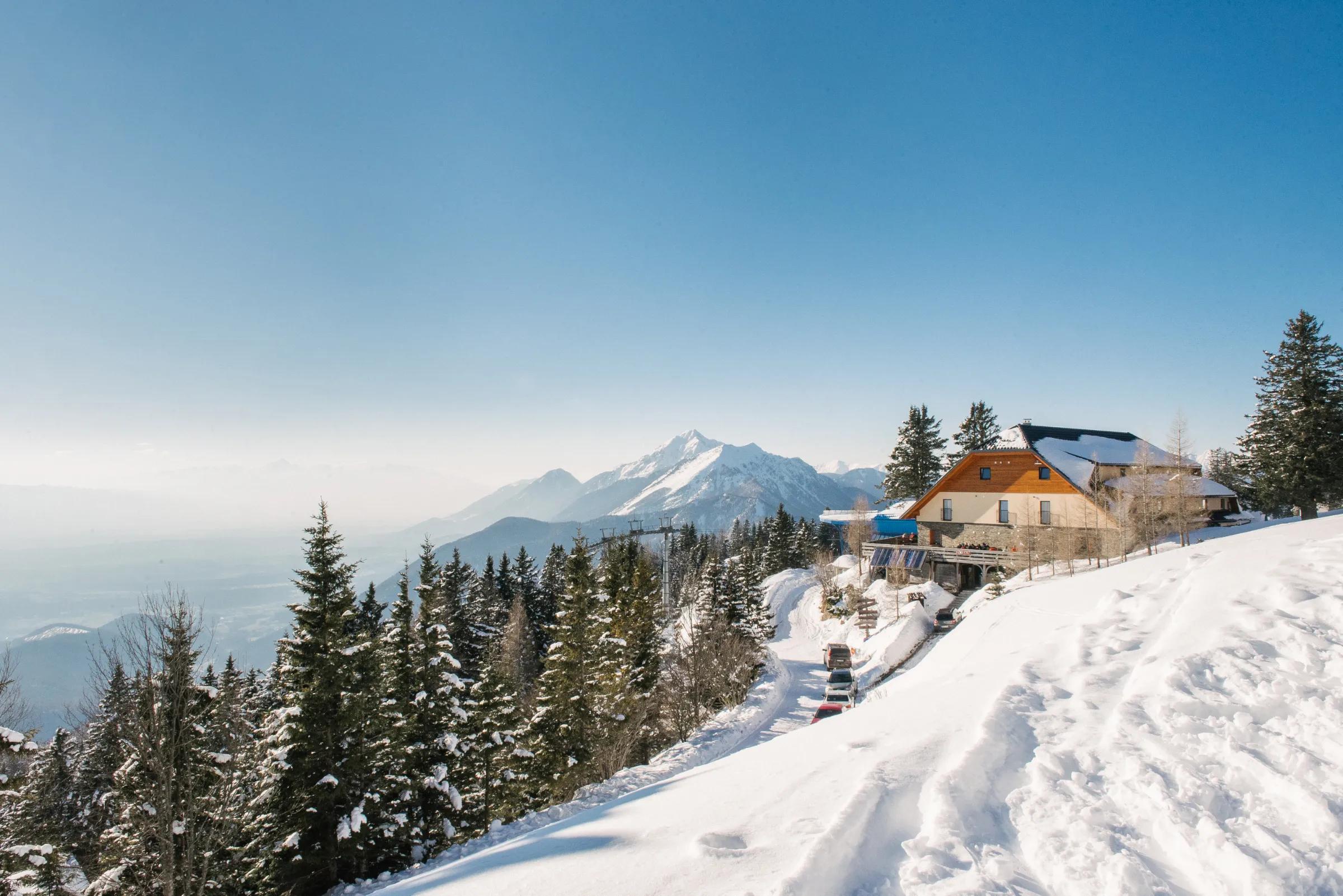
Dom na Gospincu / Hotel Rozka stands right next to the upper station of the Krvavec cable car. The hut offers a fine view of the slopes of the Krvavec ski area and part of the Kamnik–Savinja Alps.
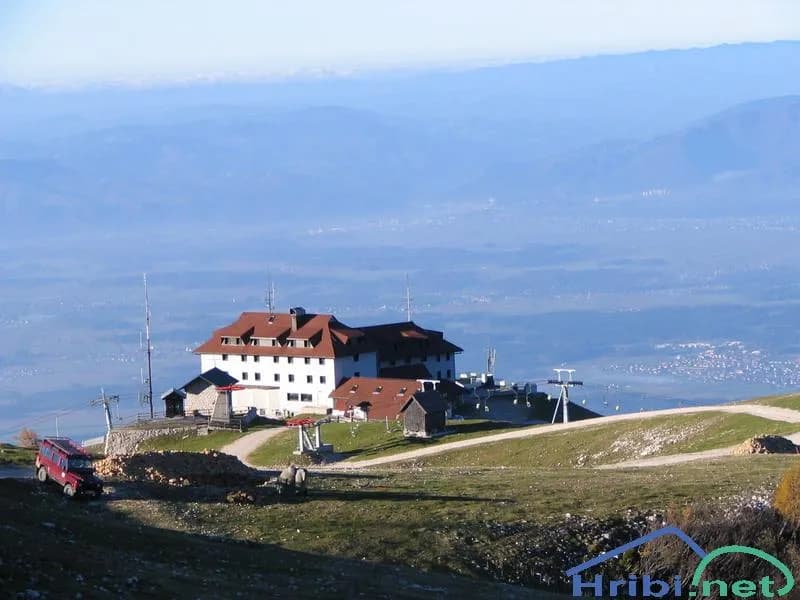
Dom na Krvavcu is a mountain hut just below the summit of Krvavec, close to the transmitter tower. Between the tower and the hut stands Plečnik’s chapel, dedicated to Our Lady of the Snows.