

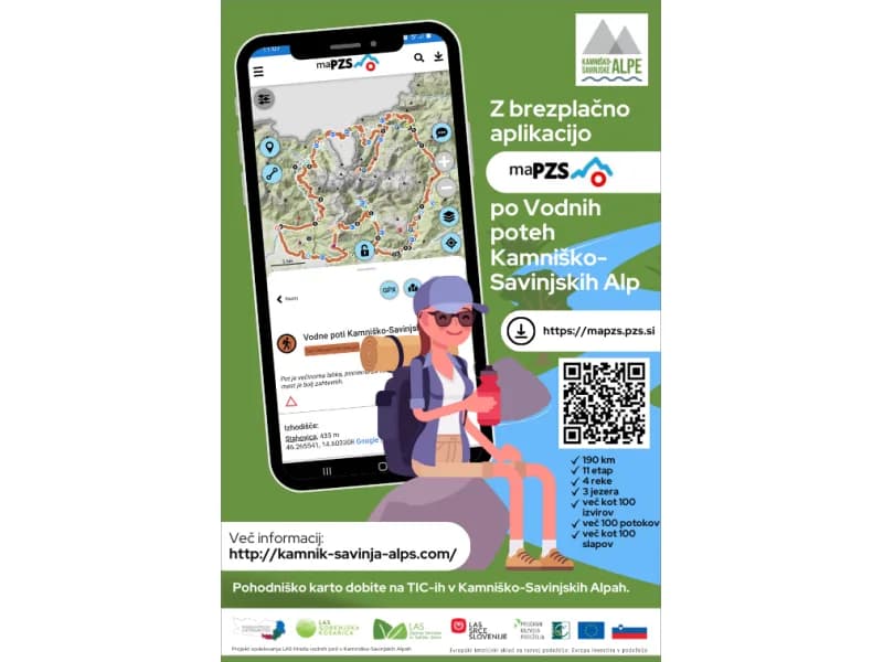
HIKING MAP -> WATER TRAILS of the Kamnik–Savinja Alps
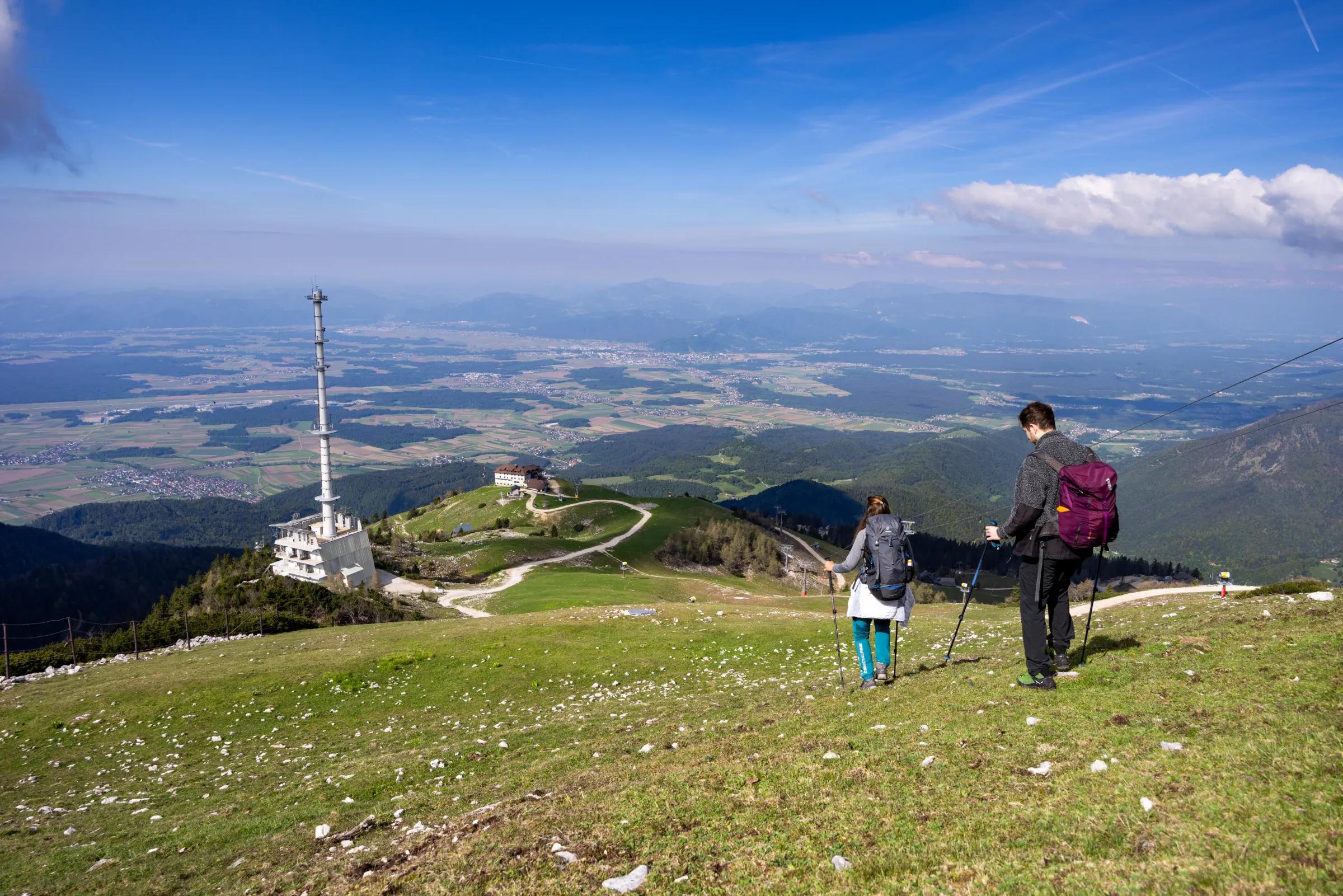
Do you like walking in the hills, along rivers and past springs?
Together with many partners, we have created a new circular hiking trail that links the Water Trails of the Kamnik–Savinja Alps.
The route has also been uploaded to the maPZS app.
Come and enjoy quality spring water whenever you like!
Metal cups have been placed next to the tested springs with drinking water. Using the QR code on the cup, you can check the quality of the water in the spring.
Find out more at: https://www.ksalps.com/vodne-poti/ (opens in a new tab)
Mobile hiking app -> here (opens in a new tab)
CATALOGUE – WATER TRAILS - HERE
THE HIKING MAP – WATER TRAILS – IS NOW AVAILABLE AT TIC CERKLJE, ALSO IN ENGLISH!